Consegna
Guida all'acquisto


Non ti piace? Non importa! Puoi restituircelo entro 30 giorni
 Buono sconto
Di qualsiasi valore
Non puoi sbagliarti con un buono regalo. Con il buono regalo, il destinatario può scegliere qualsiasi prodotto della nostra offerta.
Use of Geospatial Technology to Model Salt Affected Areas
 Inglese
 102 b
102 b
30 giorni per il reso
Potrebbe interessarti anche


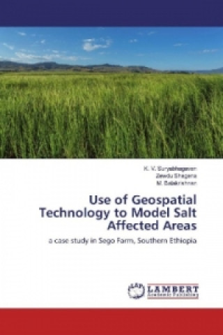
Salinization is one of the major problems of irrigated agriculture in arid and semi-arid areas, affecting productivity of agricultural lands. Managing salinity to minimize its environmental impact is a pre-requisite for the long-term sustainability of irrigated agriculture. Major objectives of this study were to assess the level of salinity in Sego irrigated farm in Ethiopia and to map temporal and spatial distribution of salt affected soils to aid in salinity management. Validation of the models was made to test their predication capability and the overlay model revealed better correlation coefficient of 68.0% to the measured ECe. The map of salt affected soils derived from the overlay salinity model was used to assess distribution of salt affected soils with respect to water table and soil type. Most of the salt affected areas was on shallow water table where the strongly saline soil accounting for 2.8% on the shallow water table. The distribution of salt affected areas with respect to soil type showed Cambisols and Fluvisols were greatly affected by salinity where Salonchaks and Solonetz were on salt affected areas.
Informazioni sul libro
 Inglese


 Contatto
 Come acquistare


