 Contatto
 Come acquistare
Consegna
Guida all'acquisto
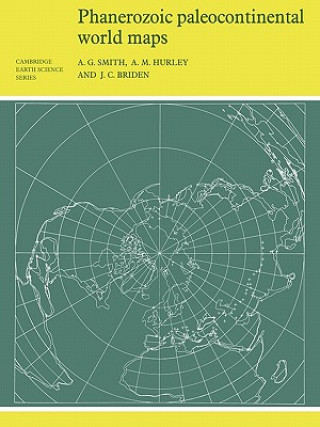
Phanerozoic Paleocontinental World Maps
 Inglese
 143 b
143 b
30 giorni per il reso
Potrebbe interessarti anche


First published in 1980, this book shows the positions of the major continental areas during the past 560 million years as four series of computer-drawn maps. The maps have been drawn for the present day, 10 and 20 million years ago, then at 20-million-year intervals back to 240 million years, and finally at 40-million-year intervals to 560 million years ago. All the maps are based on quantitative geophysical or topographic information: paleomagnetic pole positions, ocean floor magnetic anomalies, and best fits of the continental margins. Cylindrical equidistant and Lambert equal-area polar projections are used, with a thirty-degree latitude-longitude grid. Many interesting problems in the Earth Sciences are global. These maps provide a framework on which a wide variety of data may be plotted. Problems in fields as widely separated as palenontology, stratigraphy, geochemistry and tectonics may usefully be displayed on these maps.
Informazioni sul libro
Inglese
